Devon · PL1-PL9
Storm damage roof inspection in Plymouth
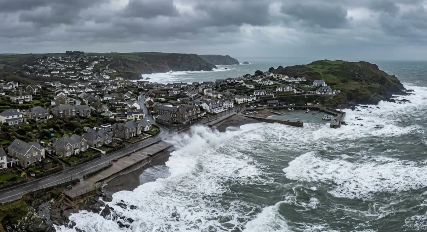
Storm damage evidence in Plymouth, where salt-laden south-westerly wind off the Sound reaches well inland, hitting the high suburbs as hard as the water.
A city on ridges, open to the Sound
Plymouth is built over a series of limestone ridges between the Plym and the Tamar, so streets climb and fall sharply between the waterfront and the higher suburbs, and there is very little in that ridged geography to actually shelter a roof from a south-westerly gale coming straight off the Sound. Salt-laden wind reaches a long way inland across the city rather than dropping off a few streets back from the water the way it might in a smaller town.
The high suburbs at Crownhill and Southway, well away from any sea view, take bad weather in a storm precisely because they sit on exposed high ground with nothing between them and the prevailing wind once it has cleared the lower city.
Devonport, further along the waterfront, gives a useful sense of scale for how far the city's exposed frontage runs, and a claim covering a residential property near the dockyard boundary is treated the same as one on the Hoe or in Stoke, referenced and dated the same way regardless of which part of the city it sits in.
Three roof types, three claims
The rebuilt post-war city centre is largely flat-roofed commercial stock, asphalt and single-ply systems on retail and office buildings, and a storm here typically means a torn membrane or standing water on a roof nobody at street level can see at all, which is as much a commercial claim as a domestic one.
Surviving Victorian terraces around the Hoe, Stoke and Mutley carry natural slate and see the familiar coastal pattern of ridge and flashing failure, while the extensive post-war housing estates further out run concrete interlocking tile that fails at eaves and verges under sustained high-suburb wind rather than the salt-driven fixing corrosion seen nearer the water.
Covering a large city in one visit
For a managing agent or a landlord with more than one Plymouth property, a flown evidence pack can cover several addresses across the city in a single day, routed by geography, with each still getting its own dated, referenced record rather than one generic account of the storm.
Modern waterfront apartments at Royal William Yard and Millbay bring their own detailing, flat roofs and terraces closer to the water than almost any other stock in the city, and get covered the same way: photographed, referenced and dated, whether the claim is a single flat or a whole block.
Royal William Yard and the Barbican, both close to the water, sit within the wide PL1 to PL9 postcode range that also covers Crownhill and Southway well inland, and a managing agent with properties across that spread gets each one flown and dated in the same visit rather than booking separate trips for the waterfront and the high suburbs. Saltash, just across the Tamar, is a short additional hop where a claim crosses the county boundary.
Behind the survey
What Plymouth clients are actually buying
CAA registered
Operator ID and Flyer ID held, plus the A2 Certificate of Competency. Registration and insurance details go over with the pack as a matter of course, because most adjusters and agents need both on file before they can act on it.
100 megapixel camera
A DJI Mavic 4 Pro with a Hasselblad camera and 6K video. The resolution is what lets a single slate or a torn edge of felt be cropped into and still hold together, which matters when a photograph is the evidence.
Radiometric thermal
A DJI Mavic 2 Enterprise Advanced carrying a 640 by 512 thermal camera, used where water may already be tracking into the structure through storm damage and needs tracing rather than guessing at.
Insured with Coverdrone
Full commercial cover for the operation. A certificate is supplied with the pack without anyone having to chase for it, which is usually one of the first things a loss adjuster or managing agent asks for.
Nearby
Also covered around Plymouth
- SaltashStorm damage evidence in Saltash, where the Tamar funnels wind hard up the valley and near-vertical streets make a close look properly difficult.
- TavistockStorm damage evidence in Tavistock, on the wet edge of Dartmoor, where tall stone chimneys carry a specific wind-loading risk of their own.
- KingsbridgeStorm damage evidence in Kingsbridge, sheltered by the estuary but where steep, packed streets create turbulence around chimneys and dormers.
Call now
Book a claim inspection in Plymouth
Send the address and what is worrying you. Sam Hembury will come back with a fixed price and the next slot that suits the weather.