Dorset · DT6
Storm damage roof inspection in Bridport
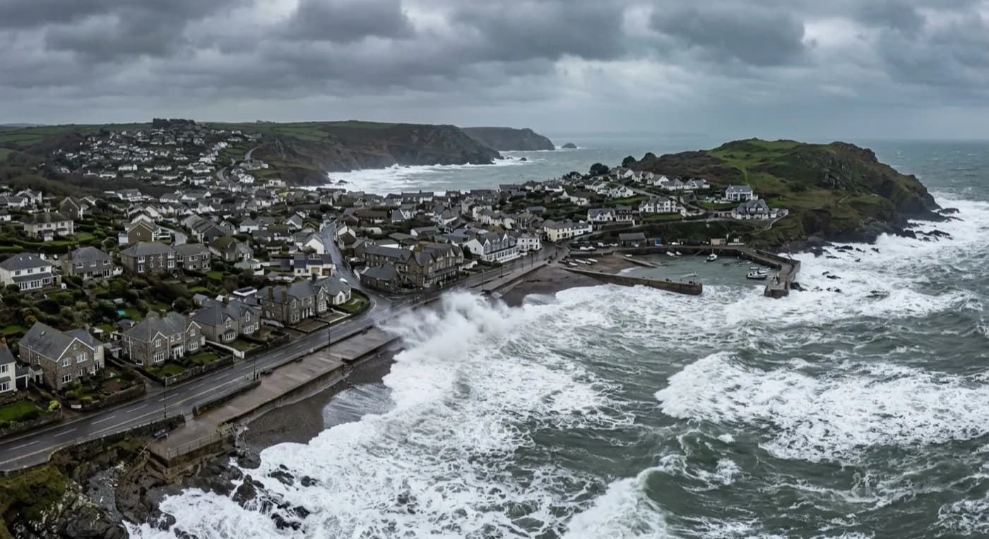
Storm damage evidence in Bridport, where wide Georgian streets funnel southerly weather up from West Bay and over the greensand hills behind it.
A rope town built wide, in a valley that channels wind
Bridport sits a mile and a half inland from West Bay, in a valley between high greensand hills, its streets deliberately laid out wide for the rope-making trade that built the town. That width does nothing to shelter a roofline from a southerly gale: the valley itself channels weather up from the coast, and the wide, straight streets give wind a clear run rather than breaking it up the way a tighter medieval layout would.
Properties on the higher ground towards Bothenhampton catch a second effect, taking wind coming over the greensand hills from the opposite direction, so a storm here can hit a town from two directions inside the same event depending on which way the front tracks.
Brick, render and thatch, each failing differently
The Georgian streets carry natural slate on brick and rendered frontages, and storm damage there tends to be ridge and ropework detailing around chimney stacks working loose under wind loading, since the stacks themselves are often taller and more elaborate than a plain terrace would need. Terraced cottages in the side lanes see more conventional slipped-slate and flashing problems.
The pockets of thatch on the outskirts need a different kind of look after a storm: not just missing material but disturbed ridging and lifted netting, which from above shows clearly as an uneven surface even where nothing has actually come off yet.
Colmers Hill, the distinctive tree-topped landmark visible from much of the town, sits close to some of the more exposed properties on the eastern side, and is a useful reference point for anyone trying to describe where a roof sits relative to the two wind directions a Bridport storm can bring.
Recording a two-direction storm properly
Because Bridport can take weather from the valley and from the hills in the same event, a flown survey that covers every roof face rather than assuming the sea-facing side is the only side worth checking is what actually catches the full extent of a storm here.
West Bay's own exposure means the harbour end of town often sees the first damage reported, but the evidence pack covers the wider town in the same visit, dated to the event, so a claim covering multiple affected roofs after one storm does not need a separate flight for each address.
West Bay itself, a mile and a half from the main town along the same valley, takes the storm first and hardest, and the DT6 postcode area stretches from the harbour right back through the wide Georgian streets to Bothenhampton on the hill. Dorchester and Chard, both inland, see a far calmer version of whatever storm reaches Bridport off the coast.
Behind the survey
What Bridport clients are actually buying
CAA registered
Operator ID and Flyer ID held, plus the A2 Certificate of Competency. Registration and insurance details go over with the pack as a matter of course, because most adjusters and agents need both on file before they can act on it.
100 megapixel camera
A DJI Mavic 4 Pro with a Hasselblad camera and 6K video. The resolution is what lets a single slate or a torn edge of felt be cropped into and still hold together, which matters when a photograph is the evidence.
Radiometric thermal
A DJI Mavic 2 Enterprise Advanced carrying a 640 by 512 thermal camera, used where water may already be tracking into the structure through storm damage and needs tracing rather than guessing at.
Insured with Coverdrone
Full commercial cover for the operation. A certificate is supplied with the pack without anyone having to chase for it, which is usually one of the first things a loss adjuster or managing agent asks for.
Nearby
Also covered around Bridport
Call now
Book a claim inspection in Bridport
Send the address and what is worrying you. Sam Hembury will come back with a fixed price and the next slot that suits the weather.